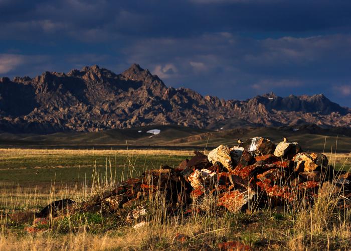
Saur is a mountain ridge on the border of the East Kazakhstan Region and the Xinjiang Uygur Autonomous Region of China, belongs to the mountainous country of Saur-Tarbagatai, where it is the second component, the tarbagatai Mountains being the first. The length of the ridge is 140 km . Glaciation area is 16 sq. km. The highest point is Mount Muztau 3816 m above sea level.
On the northern slope there are mid-mountain meadows and forests of Siberian larch, Tien Shan spruce with a mixture of Siberian fir, below and on the southern slope — steppes, semi-deserts. There are also deposits of coal and oil shale.
The mountains stretch along the southern bank of the Black Irtysh River to its confluence with Lake Zaisan.

