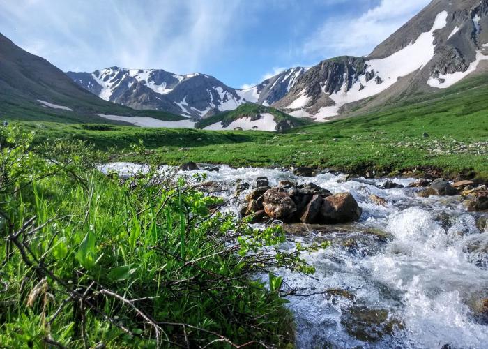
Sarymsakty is a mountain ridge in the southern Altai. It is about 60 km long . The maximum height is 3373 m (Berkutaul). In the north it is bounded by the valley of the Bukhtarma River, in the south by the Kurchum River and the Kurchum ridge. It borders the Tarbagatai ridge to the east, and the Southern Altai Ridge to the southeast. Sarymsakty is located on the territory of the Katon-Karagay District of East Kazakhstan region.
It is composed of effusions, tuffs, clay shales, sandstones, and granites. Glaciers (with an area of 1 sq. km.). The northern slope is steep, strongly dissected, covered with forests up to a height of 1900-2100 m, the southern slope is more gentle, covered with settled shrub grasslands, turning into subalpine and alpine meadows and mountain tundra.

