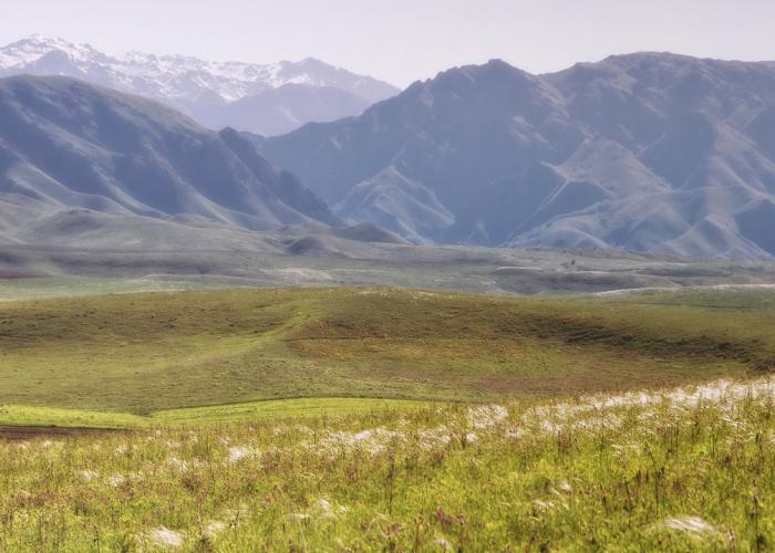
Tarbagatai is a mountain ridge in Kazakhstan on the border with China.
The western edge of Tarbagatai is located 70 km south-east of the city of Ayagoz, from here the ridge stretches south-east for about 50 km to the Sandyk-tas mountain, then it reaches east along the border of the Almaty and East Kazakhstan regions and, finally, along the border of the latter region with China. The ridge is also considered to be part of the mountainous country of Saur-Tarbagatai.
Spots with eternal snow are found only on the northern side of the ridge, and even then in a small amount. The base of the ridge consists of granite, in some places with stocks of diorite, jasper. Shale is found only on a few peaks, and also on Tas-tau. Talc shale and crystalline limestone are very common.
Numerous, albeit small rivers flow from Tarbagatai into the neighboring valleys. Between the peaks of Maral-cheku and Tas-tau, merging from two springs, the Urzhar River originates, running to the southwest and flowing into Lake Alakol. In the gorge between Maralshoky and Saryshoky mountains, the Alet River flows to the south. To the west of the peak of Sandyk-tas originates the Terekty River, which flows into the Urzhar. Near the Saryshoky Mountain is the top of the southern valley of the Kyzykty River and the northern valley of the Tamyrsyk River, to the east of these valleys are located 5 small lakes.
Mountain sheep, or argali, rock partridges, or alectoris are found in desert gorges, and there are many marmots high in the mountains. Hares, jerboa, wolves, and deer can also be found here.

