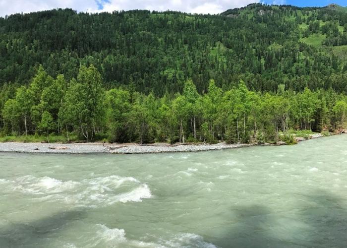
The White Berel is a river in Eastern Kazakhstan, a left tributary of the Bukhtarma (Irtysh basin). The length of the river is 65 km, the basin area is about 1040 sq. km. It feeds on the waters flowing from glaciers of the Katun Ridge in Altai. The White Berel flows out from under the glaciers - Bolshoy Berelsky (directly on the southern slope of the Belukha massif) and Maly Berelsky (on the southern slope of the Katun Ridge in Altai). The altitude of the point where the glaciers connect is 2102 meters. The river flows first to the southwest, then to the south. After about 1900 meters, the river enters the forest zone, which begins first on the right bank, then on the left. The forest is coniferous. Major tributaries are The Bolshaya Kokkol (left), Black Berel (left), Arasan (left), Yazovaya (right). The White Berel River flows into the Bukhtarma with two branches near the village of Berel.
In the upper reaches the White Berel flows through a 12 km long canyon . Bolshaya Kokkol has Kokkol waterfall, with a height of 40m. In the upper reaches, the valley of the White Berel forms an appendix, with which the territory of Kazakhstan juts into the territory of Russia: from the north, west and east, mountain ranges act as watersheds of the valley of the White Berel with the valleys of Katun and Argut.

