- Duration: 4-10 days
- Number of people in the group: up to 15
- Rest type: Combined (walking, horseback riding, cycling)
- Length: 50 km
Yazevy Falls (Start of the route)
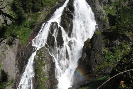
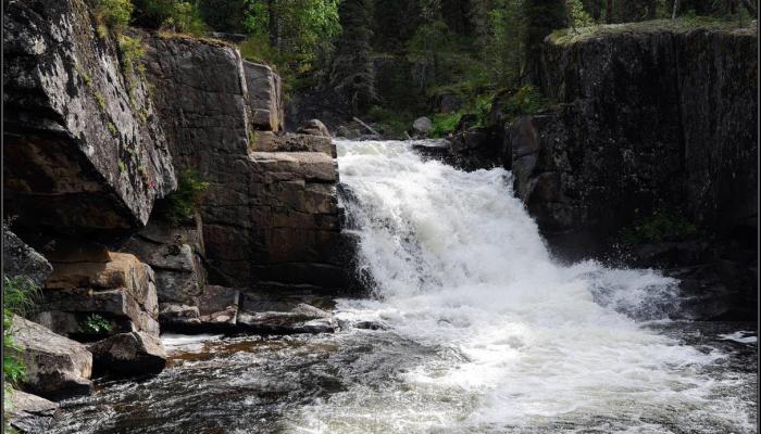
The trail begins 100 meters from the Yazevy Kids Cascade to the main waterfall. After crossing a small boggy clearing and several brooks, tourists take a picturesque rocky path to a natural viewing platform located on the flat top of the rock overhanging the waterfall. From here there is a mesmerizing view of the entire cascade. Picturesque rocky shores covered with soft moss and lingonberries. Here is the kingdom of firs. The height of trees is 20-25 meters, the average age is 90 -100 years. Shrubs are represented by Altai honeysuckle - barberry with oblong blue fruits that reduce blood pressure, currants, raspberries. In the vicinity of the waterfall live: bear, roe deer, fox, sable, badger, hare, squirrel, and other animals.
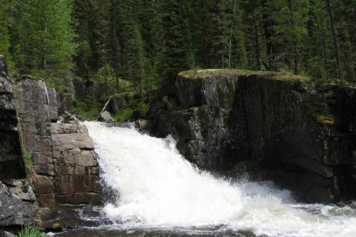
Tourists going down the path along the shore to the lower rapids, can make some great pictures of the whole cascade from natural rocky observation decks. Groups of no more than 5 people are recommended to visit each observation deck at a time.
In the rushing stream of the river, just below the waterfall, amateur anglers can catch silver grayling.
Only a brief stop is recommended at the waterfall. At the waterfall there are information boards and signs, equipped with a place to rest. Here, tired tourists can rest and have a bite to eat, then tourist groups go to the lake Yazevoye.
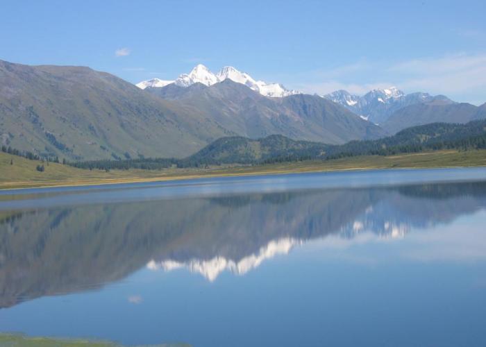
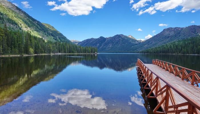
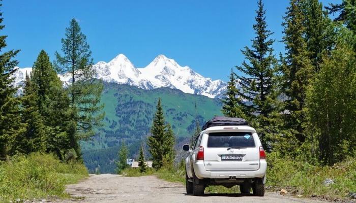
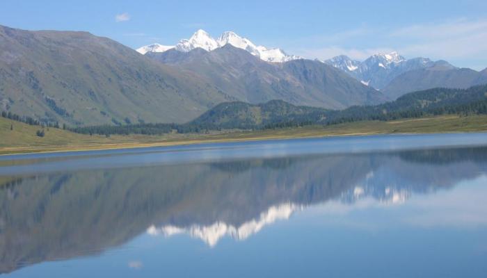
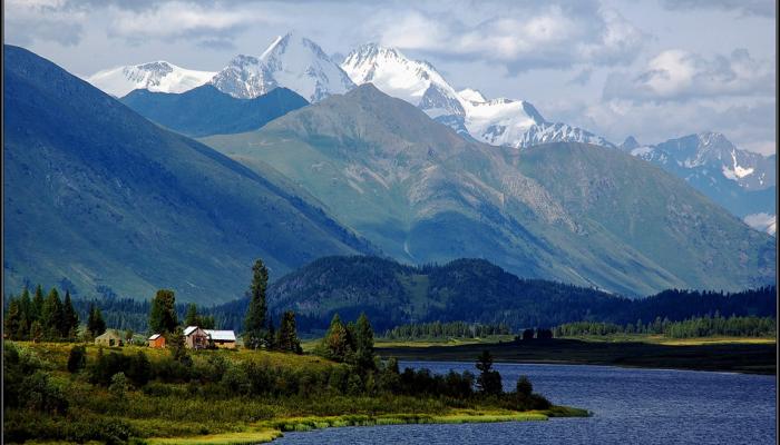
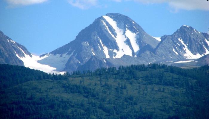
The lake is located in a picturesque valley, located at an altitude of 1656 m above sea level. The length of the lake is 3 km, width 600 m. The lake is warm enough and in the summer, you can swim in it. In clear weather from the coast there is a magnificent view of the two-headed top of Mount Belukha (4506 m).
There is only one species of fish in the lake, the ide.
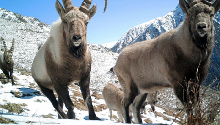
On the coast there are nesting gray ducks, goldeneye, mallard ducks, and a small colony of black-necked grebes. These birds can be observed from the territory of the ecological camp during the day. In the forest you can see long-eared owl, hoopoe, black crow, wagtails, flycatchers, great tit, common kestrel, hawk and other representatives of avifauna. In the morning marals and roe deer sometimes come out to the inaccessible left bank of the lake to drink water. Brown bears, foxes, ermines, American mink, weasel, and chipmunk can be seen there.
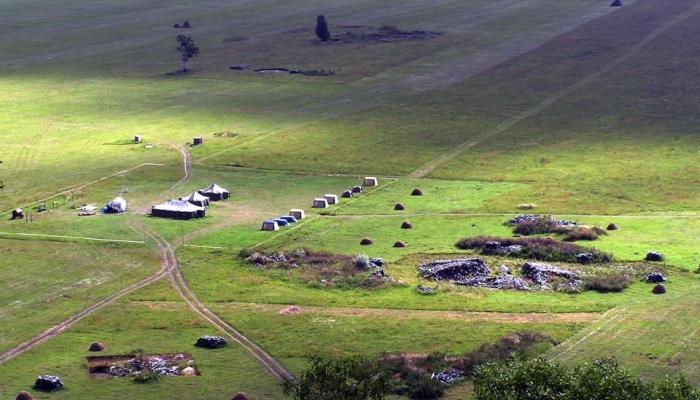
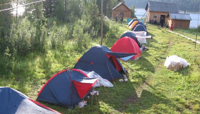
On the shore of the lake in a vast glade, with observance of sanitary norms, it is convenient to make a summer ecological tent camp for up to 300 people without prejudice to the nature. The camp is necessary to regulate the flow of visitors to the national park. An information board with the scheme of the whole recreational and educational trail, a sanitary room, toilets, places for parking, and places for setting up tents are installed on the territory.
To regulate the tourist flow and conduct environmental work Katon-Karagaisky National Park has established a cordon "forester's house". Here tourists can get the necessary information about the route, the animals and plants of the recreational area, natural sites, history, as well as the services provided by the national park and the environmental work in general.
After a one-day acclimatization in the ecological camp and reception of the obligatory instruction on the rules of behavior in the natural environment the group goes along the shore of the lake Yazevoe along the unpaved road (5 km) to the old sawmill. On the other side is the Altai region.
All along the trail there are directional signs and markings of the most interesting objects.
Old sawmill
A short stop at the old sawmill (remnants of abandoned rotting topsoil of business wood along the banks of rivers and streams flowing into the lake - consequences of post-Soviet timber industry activities). The old sawmill is an anthropogenic factor. During the collapse of the Soviet Union the sawmill ceased to exist, the equipment was removed, but on the territory remained unprocessed decaying business wood vertex, which is already in large quantities in neighboring Russia. The Katun Nature Reserve and Katon-Karagai State National Nature Park have now entered into a joint cooperation agreement.
The trail goes along the Russian border and crosses a swampy glade. Here novice tourists under the guidance of instructors will master the skills of moving through the boggy area (3 km). A little more time on the way and a picturesque panorama of Lake Karakus will open in front of you.
Lake Karakus
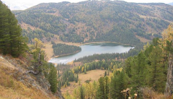
From the sawmill you should turn to Karakus Lake (the distance to the lake is 3 km). The trail leads through a marshy area to a beautiful forest reservoir hidden between cedar-covered rocks. The small round forest lake is only 600 m in diameter. The approaches to it are boggy. But you can get to the water at the rest spot. The lake is surrounded by high mountain ridges overgrown with cedar and spruce. The area seems completely wild. Here one can see traces of bear, roe deer, elk, red deer and, if you are lucky, even an animal.
Recess. Here the group stops for lunch.
After two-hour break the way goes further to the mountain jail to the stay of shepherd Tursunkhan (the distance from lake Karakus to the stay of shepherd is 10 km).
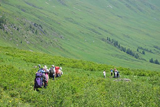
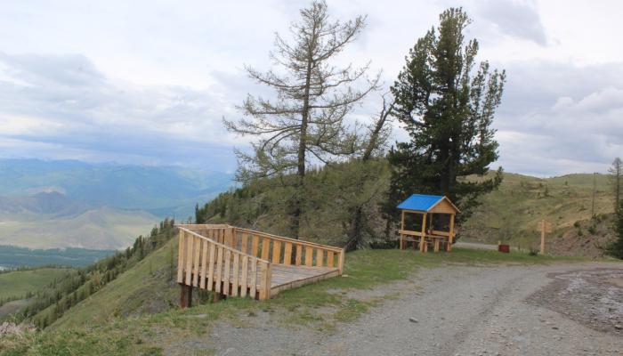
There are no settlements ahead of us. Mountain taiga and meadows stretch as a broad massif for tens of kilometers. The group climbs up the flower-covered slope (35 degrees) and comes out to an old forest road. A little more and in front of the tourists a wide panorama of the valley of the river Belaya Berel. Wide observation deck. From here you can take great pictures.
Mountain Jailau. Tursunkhan shepherd's camp
The trail runs down to the shepherd's yurt. Here tourists can buy fresh milk, cottage cheese and sour cream from the friendly hostess.
The group stops for the night at a mountain stream in a cedar forest.
Camping should take place in a clearing with a sign that reads "Camping Site. Sometimes, at night, when it's quiet, a curious roe deer might enter the camp. Warn everyone in the group about it, especially children.
Early in the morning the group will go further. The trail winds along the coast of the White Berel River. There are a lot of natural viewing platforms along the route, from which you can take pictures of remarkable natural objects or take video pictures.
From the left bank the southwest trail goes to the high-mountain sanatorium "Rakhmanovskie Keys". But our path continues to the northeast along the right bank of the Belaya Berel River. Along the way you will meet beautiful rocky areas, small round lakes, streams and rivers. The air is filled with marvelous aroma of alpine herbs. On some parts of the route snow melts only in late July. And then you can observe an amazing picture. Where snow had just melted, you can see real snowdrops and primroses. Where the snow melted a little earlier - March's root (peony evasive) is blooming. So you can observe the whole process of seasonal change of flowers in the valley.
The "White Berel" parking lot
Recess. Some tourists stay here for the night, because there is still 5 km. steep enough ascent to the Lower Camp Kokkol. Stronger groups rest on the river bank, then by the old bridge, built during the Great Patriotic War, go to the left bank and the trail rushes along the picturesque slope, past the monument to the dead climbers to Kokkol waterfall. The slope goes steeply upwards and here it is - miracle of nature! Kokkol waterfall!
The rushing stream of the Kokkol River drops off in a 60-meter cascade and is an amazing sight. The column of fine water dust shines as a rainbow in the sunlight. A convenient natural viewing platform allows you to take great pictures.
Lower Camp Kokkol
This is where the mine workers once lived. Remains of old buildings, where tourists stay. Here travelers stay for two days, making radial exits to the Lake of Balance, to the Kokkol mine, the Berel glacier. On the territory of the lower camp there is an information board with a scheme of directions to interesting natural and historical objects and directional signs of radial routes.
Transitions to the Lake of Balance, to the Kokkol mine.
"Lake of Balance" or "Tears of the Virgin Mary" (whatever you like, the names were invented by the tourists themselves).
The lake is formed by the melting of the snowpack under the southern slope of the mountain range. Snow lies near the lake even in the hot, dry summer. The clearest, crystal water, in which in good weather is reflected the top of Mount Belukha and the blue sky. This is a favorite place for tourists.
Abandoned adits of the old Kokkol mine, which operated during the Great Patriotic War. This is an entire open-air museum. It is located near the source of the Great Kokkol River on a mountain pass, where there is snow even in summer. The area is formed by the most ancient metamorphic rocks, which are more than 500 million years old. They are broken through by massifs of granites and other vein rocks. Molybdenum-tungsten ore occurrences are associated with granites. The old adits, outbuildings and barracks, where the mine workers lived, are preserved.
Trekking to the Berel glacier.
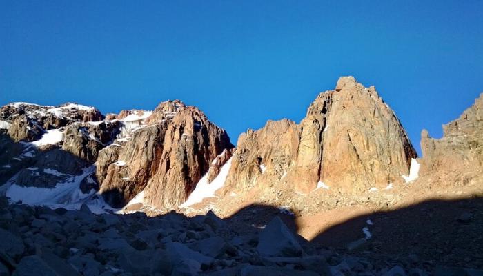
The trail leads to the heart of the Altai Mountains. Every hour the snow pyramids of Belukha are closer and closer. Its steeps rose above the level of the world ocean at 4,506 meters. Here is the Berel glacier, which gives life to the Belaya Berel beauty. Huge cracks up to 40 meters deep dissect the body of the glacier from the very bottom, exposing the ice of the beautiful green color. Here, the mountain tundra belt is represented by shrub tundra with dwarf birch and willow, and above by moss-lichen tundra. The grass cover here is low and highly sparse, interspersed with stony placers. Above the snow line, from 2900-3000 m, a nival belt of rocks, firn and glacier fields begins, crowned by the two-headed top of the Belukha Mountain.
Return to the beginning of the route.
Important information
- information about the reservation and cost of the tour can be found on the official website of the organization, or by contacting the telephone numbers listed below;
- The cost of the tour can be changed depending on the number of tourists.
- Katon-Karagay
- 115, O. Bokeyev St., Katon-Karagai village
- Go to the site
- 87234229345
- 87234229796
- rgu.katongnpp@mail.ru

