Before the start of the route, a tourism instructor or an inspector of the KKGNPP instructs tourists on safety and rules of conduct in the natural environment.
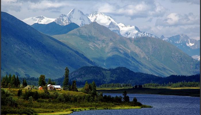
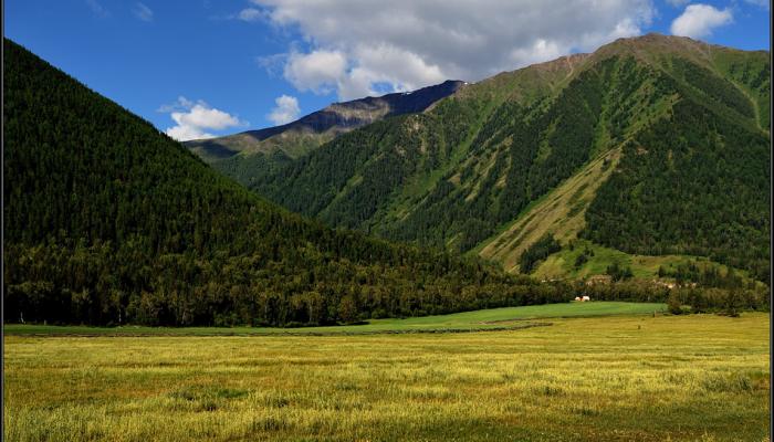
The route begins from the village Shubaragash, located in a picturesque mountain valley at an altitude of 1540 m, surrounded by tall firs, cedars and spruces, as well as a dense undergrowth of berry bushes: currants, raspberries.
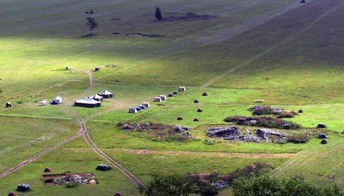
Tourists head along the road in the morning to Tatayev's forest dacha, located next to the maralnik. Here, in June, visitors can see the process of cutting antlers. Then the tourists head up along the trail along the maral range to the Aktaylak pass. The trail passes through picturesque meadows covered with flowering vegetation: in June - primroses, watershed, fontanelle of the Altai, in July - honey plants, among which in large numbers are: maral root, sanseviera (squirrel). In August begins abundant flowering of willowgrass, aconite, and hogweed. In September, you can meet the Altai species of flowering asters and violets.
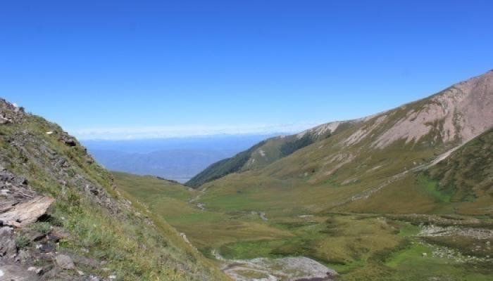
At Tosbulak Creek, the trail splits in two directions. Tourists go up the left trail to a small pass called Aktaylak. Some rocky areas covered with fluffy cedars are very beautiful. Then the trail descends down a gentle slope overgrown with grass to Zhaisanbai Jailau. Here by a small river you can make a fire and have lunch.
After lunch, the group continues on their way. Somewhere along the way there are outcrops of rocky rocks up to 15-20 cm high. Riders must be very careful when riding here.
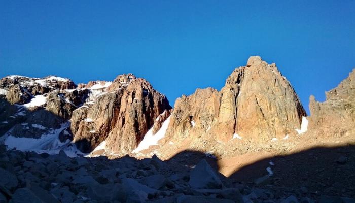
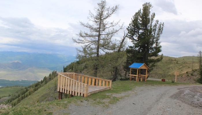
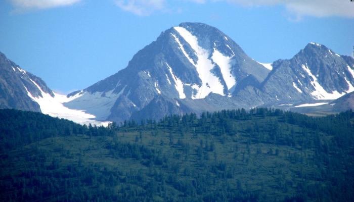
After a short climb, there is a natural viewing platform. From this point you can see the top of Belukha Mountain and in the distance you can see a bend of Belaya Berel river.
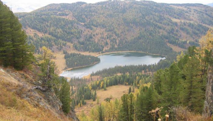
A short descent along the wooded slope and the path leads to a small bog overgrown with moss and sedge. After crossing Batpaktibulak Creek, the group stops for a short rest at a forest dugout. After having a rest tourists go up the slope to the pass from where you can see the end point of the hike Yazevoe Lake. From there you can make wonderful photos and video camera. Then the path goes steeply downhill and after passing through the dense mixed forest comes out on the gravel road. After three kilometers the trail ends at Lake Yazevoye (1656 m).
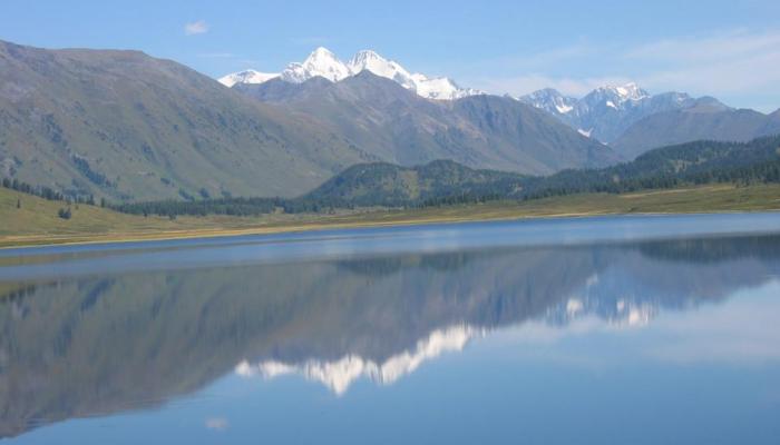
The lake is very picturesque. On a clear weather the two-headed top of Belukha Mountain is reflected in the water.
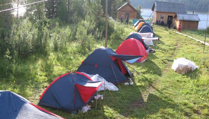
Here the route ends, the group stays for the day in a tent camp or a forester's cottage on the shore.

